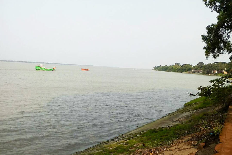
Shyampur-II welcomes visitors and citizens alike to a block shaped by the Rupnarayan — a quiet agrarian landscape of canals, paddy fields, and riverside villages, administered with a focus on transparent, citizen-first governance.
Where we are
Shyampur-II is a Community Development Block in the Uluberia subdivision of Howrah district, West Bengal, about 51 km from the district headquarters. It borders Bagnan-II and Uluberia-I blocks to the north, Shyampur-I to the east and south, and the Sahid Matangini block of Purba Medinipur across the River Rupnarayan to the west. The block is served by Shyampur police station, with its administrative headquarters at Shashati.
Shyampur-II on the map of West Bengal
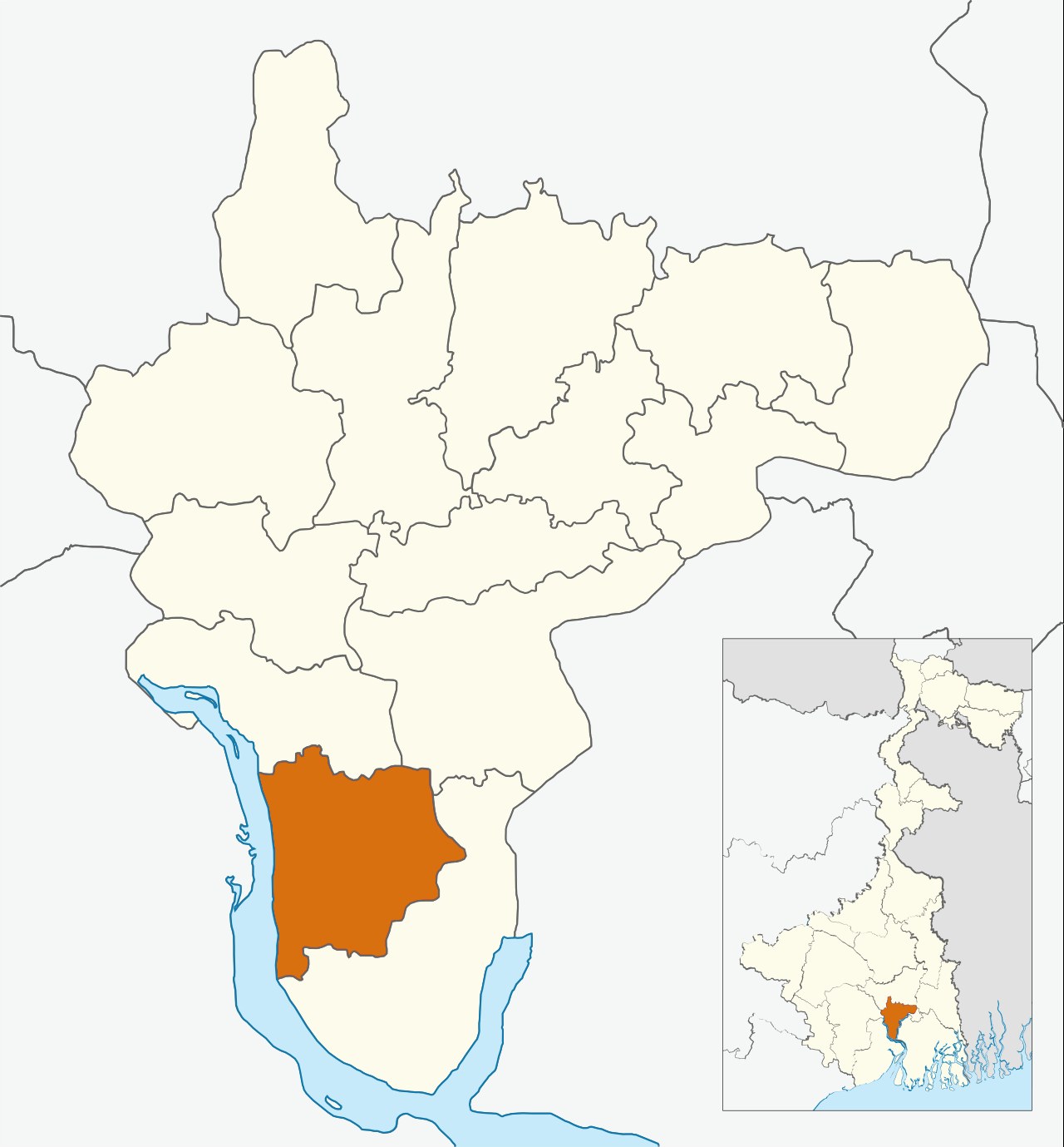


Hover or tap the marker to see the block location. Map of Howrah district with Shyampur-II highlighted; inset shows its location within West Bengal.
Economy
The block has a strong agrarian and riverine economy: irrigation channels such as the Deorah, Patkelghata, and Anantapur canals feed its paddy fields, and villages including Jhumjhumi, Anantapur, Ajodhya, and Bargram number among its largest settlements.